
Post #8 – Between Borders
The Fourth Thai-Lao Friendship Bridge, connecting the districts of Chiang Khong, Thailand, and Houayxay, Laos, over the Mekong River. Photo: Tami Banh

Mekong River as border between Thailand and Laos. Map by Tami Banh with data from MRC

Southeast Asian Mandala States - Map Drawing by Tami Banh. Background: Hydro-geographical map of the East Indies below and beyound the Ganges with their archipelago. Source: David Rumsey Map Collection
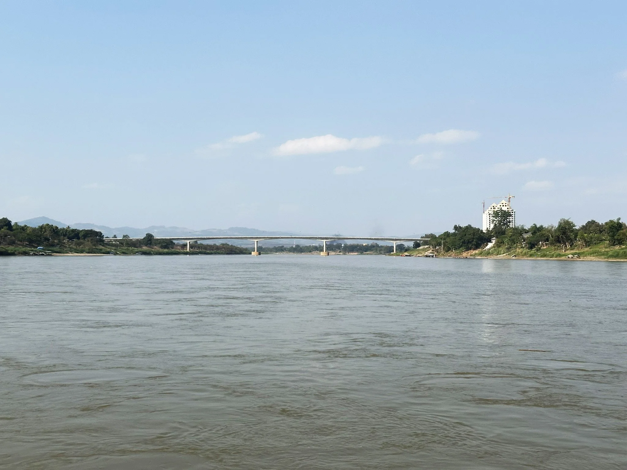
By the time we approach Houay Xay--the last stop on the two-day slow boat from Luang Prabang, the Mekong again becomes a border. On one side, Laos. On the other, Thailand. The same river, two nations. Two flags fluttering over the same flow. (Further south, the Mekong River continues to mark the boundary between the two countries, from Ban Phalat to Phou Lau Seua.)
Andrew Alan Johnson writes of this liminal zone as a fecund space, where edges meet and blur, where people trade, marry, worship, and drift across invisible lines. Sitting on deck, I think about how Southeast Asia has always been such a space. For centuries, kingdoms here functioned as mandala states, their influence radiating outward from centers of power rather than being confined by fixed borders (Wolters, 1982). Things overlapped, mixed, brewed; and from those crossings, new forms emerged: languages, rituals, dances, architectures, cuisines, textiles...
The modern nation-state is a relatively recent idea. Southeast Asian national borders were not solidified until the colonial period--an invention of European Empire cartography and treaty-making. Thongchai Winichakul’s seminal Siam Mapped traces how Thai nationhood was literally drawn into being at the end of the 19th century, as Siam’s kings, aided by European advisers, fixed its boundaries to survive Western colonial pressure.
“A nation can be imagined without a word or other symbol or color on a map, but this is impossible if boundary lines—the symbol which forms the entity of a map of a nation—are excluded… A map may not just function as a medium; it could well be the creator of the supposed reality.” (Winichakul, 2009, p. 56)
And then, there’s the question of identity itself.
“Moving beyond the nation, Donald Emmerson has shown that even the identity of the thing called Southeast Asia had not been known as such before World War II.” (Winichakul, 2009, p. 14)
In the context of Laos, Brian Eyler, cited Soren Ivarsson in Creating Laos, reminds us that “Lao” identity, as we know it today, was, in part, a colonial invention started in the early 1900s. As Siam being reimagined by British and French cartographers under the watchful eyes of King Chulalongkorn (Winichakul), the French carved out Laos to distinguish their protectorate from Siam. What was once a gradient of ancient Tai-speaking cultures became a line on a map. Then in the 20th century, in an attempt to further codified the Lao nationalist identity, diverse lowland and highland communities were compressed into 3 simplified administrative categories: Lao Loum (“Lowland Lao,” the majority rice-farming population of the valleys and plains), Lao Theung (“Slope Lao,” mid-altitude groups often considered indigenous and practicing shifting cultivation), and Lao Soung (“Highland Lao,” including Hmong and Yao communities who inhabit the highest elevations).
A similar story echoes downstream. The land we now call Vietnam has long been home to multiple peoples, languages, and kingdoms. Vietnamese historians under the Trần dynasty (13th–14th centuries), and later French scholars of the École Française d’Extrême-Orient (EFEO), helped construct a narrative of a continuous, distinct “Vietnam,” separate from China yet always measured against it. Nhung Tuyet Tran and Anthony Reid wrote in the introduction of Vietnam: Borderless Histories:
“The EFEO’s model of Viêt Nam-centered Orientalist scholarship, intended to offset the influence of anti-Western movements in China and Japan, ironically assisted Vietnamese nationalists in constructing their own narrative. By highlighting the colony’s non-Chinese characteristics, EFEO scholars unwittingly created a model of ‘indigenousness’ that nationalists would soon appropriate in their vision of an inevitable Vietnamese nation.” (pp. 6–7)
Tran and Reid concluded Vietnamese identity “has always been variegated and open to multiple possibilities”. That statement could just as easily describe Southeast Asia, where identities—consciously or subconsciously imagined & constructed—shift over time and are continously being negotiated and renegotiated through resistance, accommodation, and borrowing.
As we near the Golden Triangle, where Laos, Thailand, and Myanmar meet, I keep thinking that identity here is like the river itself: never fixed, always gathering new sediments from elsewhere. Borders only slow it down for a moment.
—-
Eyler, B. (2019). Last days of the mighty Mekong. Zed Books
Johnson, A. A. (2020). Mekong dreaming: Life and death along a changing river. Duke University Press.
Tran, N. T., & Reid, A. (Eds.). (2010). Vietnam: Borderless histories. University of Wisconsin Press.
Winichakul, T. (2009). Siam mapped: A history of the geo-body of a nation. University of Hawai‘i Press.
Wolters, O. W. (1982). History, culture, and region in Southeast Asian perspectives. Institute of Southeast Asian Studies.